Kevin Young of Parks Canada, the perfect guide with the perfect beard.
Outlines of buildings.The photo below shows the forge site; above it and to the right are thereconstructed longhouses.
Possible slave quarters (below).

We found some jolly actors in the reconstructed longhouses; I think most people get the benefitof the site from the reconstructions and the well-informed staff inside them.


| This worker is making a sail; the cloth would be about 22" wide and it would take 8 of them tomake a sail--enough work for several women for an entire year. It seems very tight and solidfrom the front (above right), but backlit it seems misleadingly like gauze.
 1 p.m. | 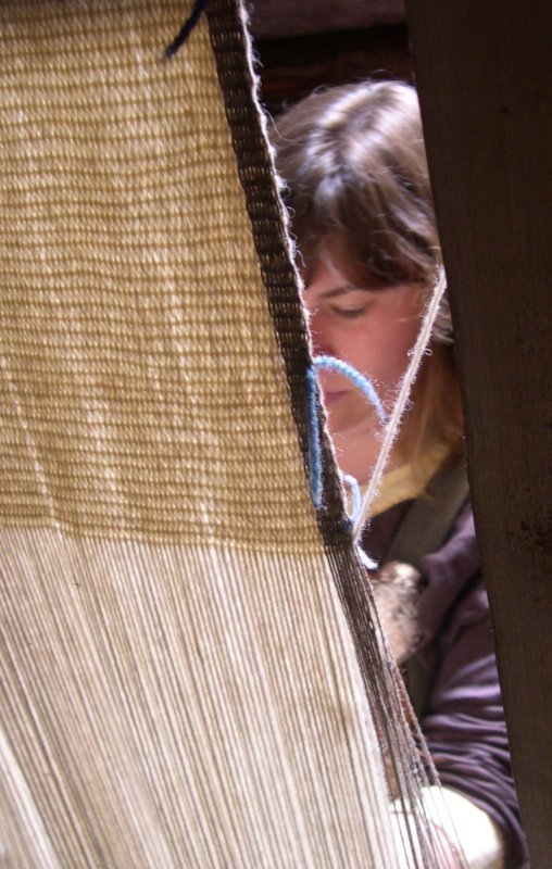 |

Surrounding the site:
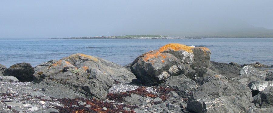
The modern village of Ship Cove (I think that's the right village) includes an island crammedwith noisy gulls
and beautiful lichens on the rocks. Fog covers the hill behind it, except at the far right.
When youlook in the otherdirection, it's almost a black & white world.

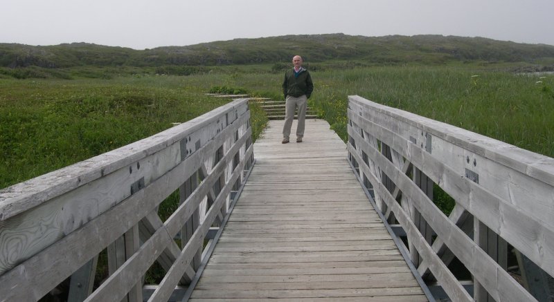
We returned to the Viking site at 3.45 to find it much changed in sunlight & much the better forit.
That's the entrance to the left.
The shore in the photos above is just beyond the line of white houses center & rightbelow.

Just to the right of the beach & up a bit is the site of the originalsettlement.
On to icebergs. We saw this one coming back from lunch at Northern Delight
(recommended: Fish brewis with scrunchins; 3.10 p.m.).
We saw this one at 4.15 near a small wharf where these fishermen were cleaning fish.
| The photobelow zooms in on small peak between the two men. Dead center is a white dot. We thought itwas the moon. It turned out to be the tip (of the tip) of an iceberg on the move, the men assuredus. As they would say in St. Anthony, "He's headed this way." It was masked by fog in the photoabove. | 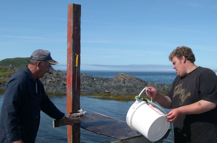 |

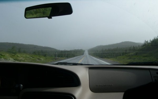
4.30 p.m.--start of the drive back to St. Anthony toreturn Danny's van (5.30; after a visit to fogged-in Fishing Point), then the ride to the airport (6.30).
Approaching Blanc-Sablon, Quebec
(8 p.m.).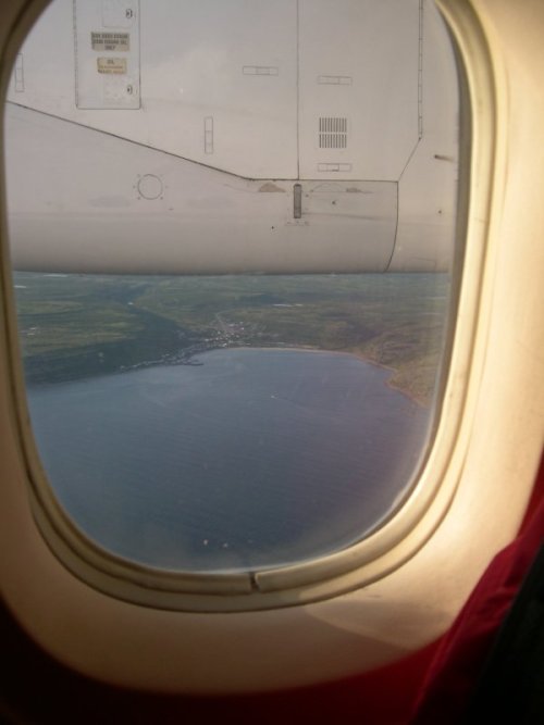 | Headed southeast to St. Johns, about anhour away.
8.30 p.m.

arr. St. Johns 9.45 p.m. |